Roads & Navigation
Roads
While in remote areas roads can be disastrous conditions, the main routes are at least in a decent condition. The main route from Viñales along Pinar del Río, Havana, up to Santiago de Cuba is pretty easy to drive. The two lanes main highway (Autopista nacional) reach from Pinar del Rio to Sancti Spíritus.
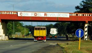
Revolution with Fidel - Autopista nacional
The important roads for tourism, such as the connection between Havana and Varadero, are in an even better shape. Nevertheless, many remote secondary routes, especially in the mountains, are quite often in miserable condition.
Therefore, if you want to move away from the busy roads, you should ask the locals first about the condition of the route. To reach remote areas, it should be better considered to rent an off-road car.
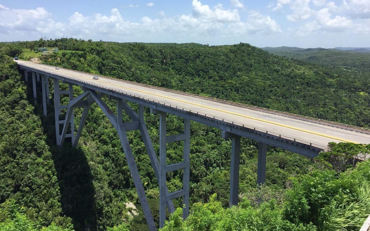
Bacunayagua Bridge: Highest bridge in Cuba
Driving on unpaved streets (sand and gravel roads) is not allowed. Any violation will basically void an insurance coverage.
It is better to avoid drives at night, at least until you are familiar with the route and the condition of the road.
Dangers in road traffic
Due to dangers in road traffic, like large potholes, animals and pedestrians, this driving style is also advisable for all visitors.
- Potholes
- Pedestrians, Horse-Drawn Carriage & Animals (night)
- Railway Crossing
Rail crossings are particularly dangerous, not because of passing trains, but that the axle of your car could break. There, it is very important to cross as slow as possible. The transitions are indicated by signs, and you should drive at a walking speed.
Signs
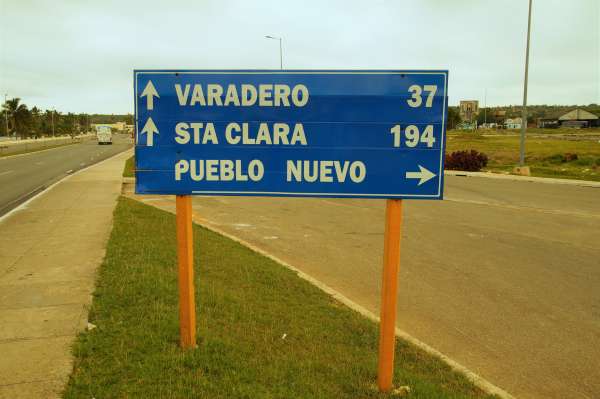
The traffic signs are neat and easy to understand, at least in most parts of the country.
Navigation & Maps
For a simple navigation, it is good to get a map before hitting the road. A quite simple and completely free way is to download a free offline navigation on your smartphone from home.
Anyway, for easy navigation, it is better to download an online app before starting your trip. A very effective app is maps.me. It is advisable to download the free app on your smartphone before you start your journey. The map is quite detailed, it shows you gas stations, hiking trails, bus stops…and it is extremely reliable.
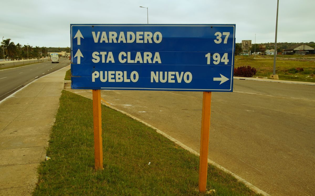
Signs in Cuba
Maps.me offers a well-functioning navigation offline. After you downloaded the offline-package for Cuba, you just need to turn on your GPS, and you can hit the road with a good navigation.
You can also, if you prefer, use the offline Google Maps, but it is less precise and doesn’t allow a full navigation without a working internet connection. If you prefer to use the traditional maps, you can find free road maps on the internet.